Spirit of Syllamo
100 Mile
35 Mile
13.1 Mile
December 13th, 2025
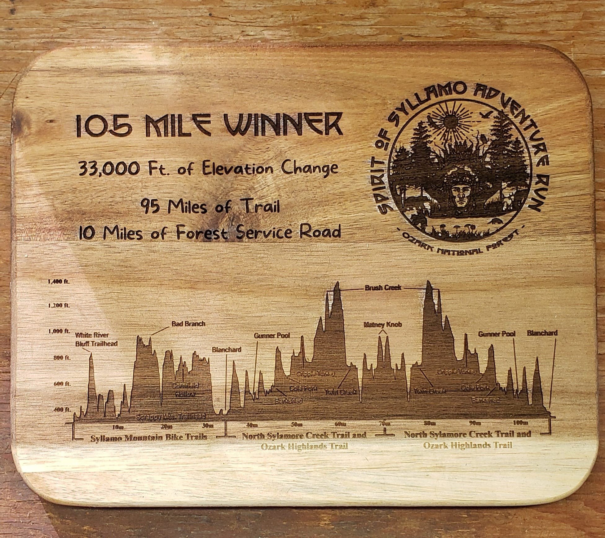
A true feat of strength & determination. Experience 100 miles of some of the most challenging terrain in the South. The course begins with a 35 Loop of the Epic Syllamo MTB Trails and finishes with and Out & Back on the Sylamore and Ozark Highlands Trails.
“Run with passion and an unbreakable spirit - the journey through the forest is rugged and beautiful.”
— Rusty Harvey, Race Cofounder & Finisher
Race Details
-
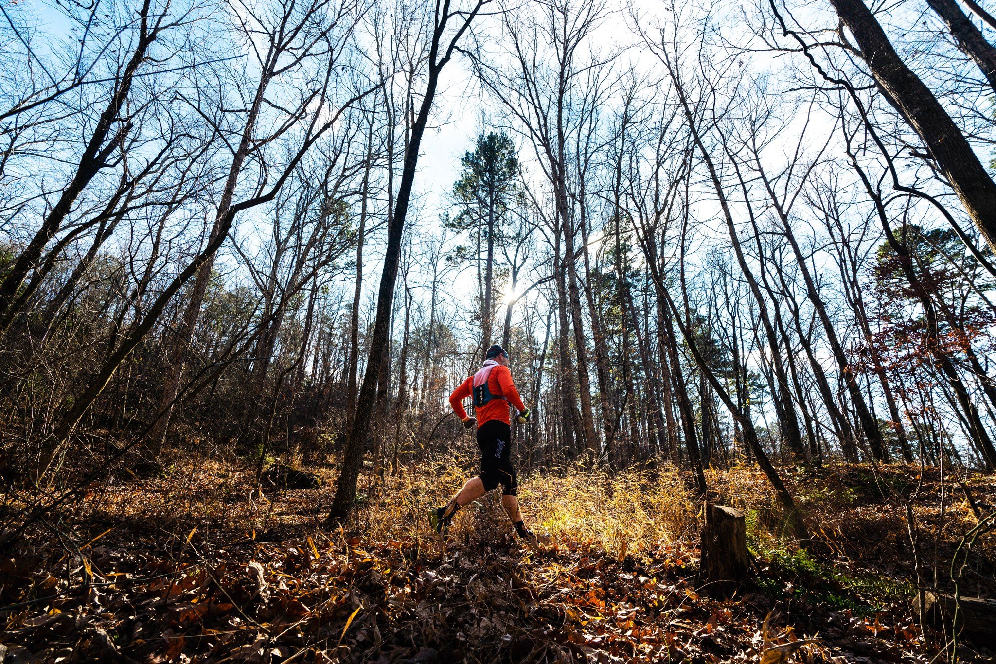
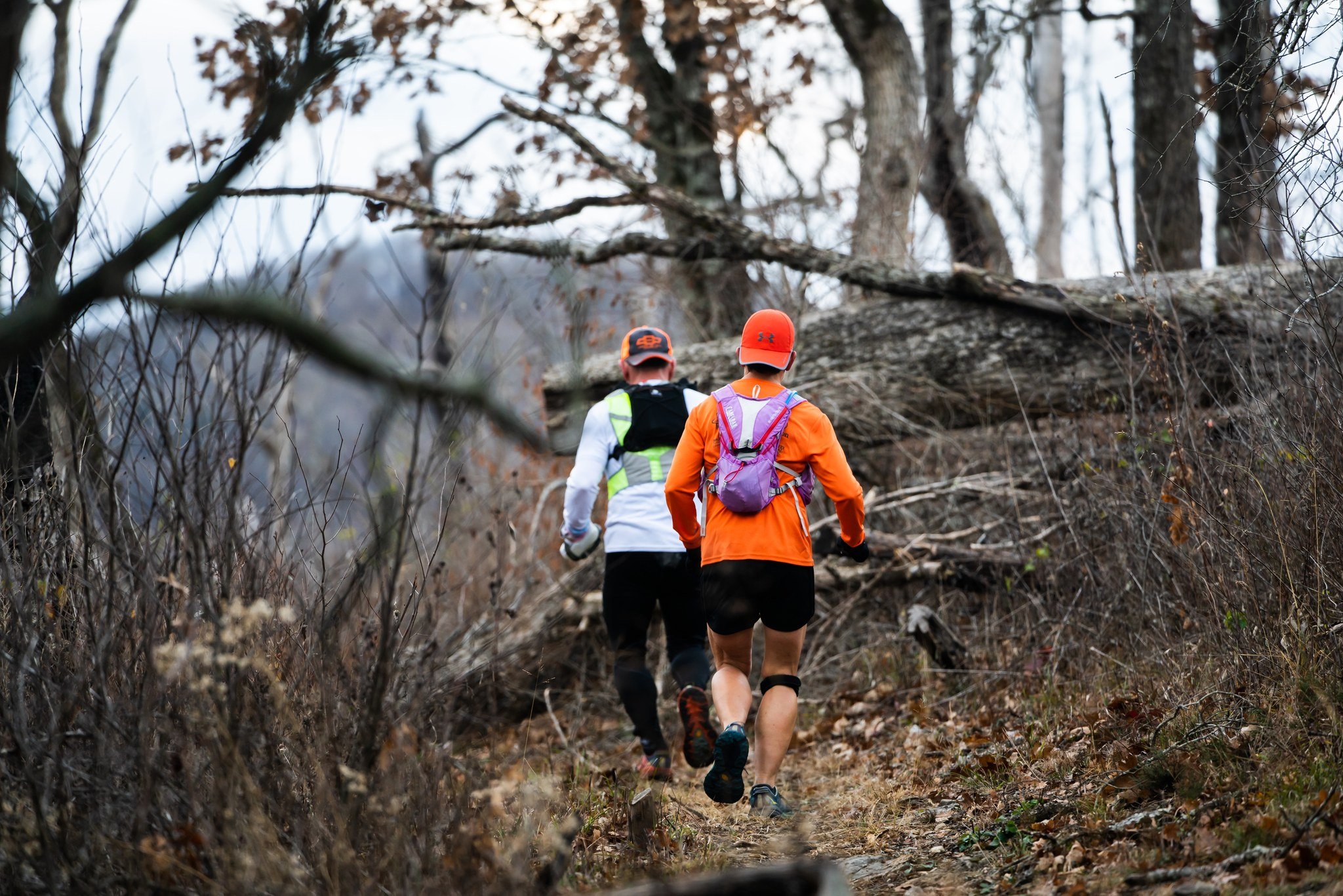
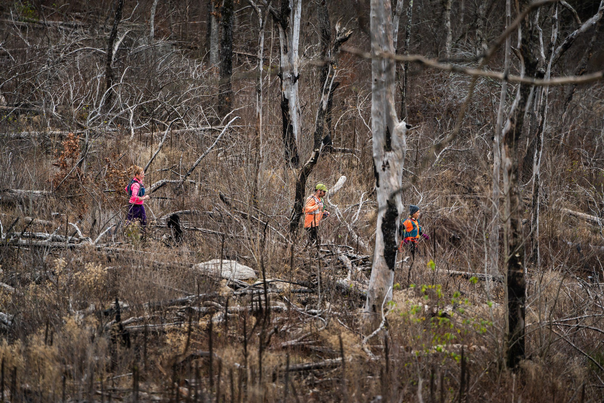
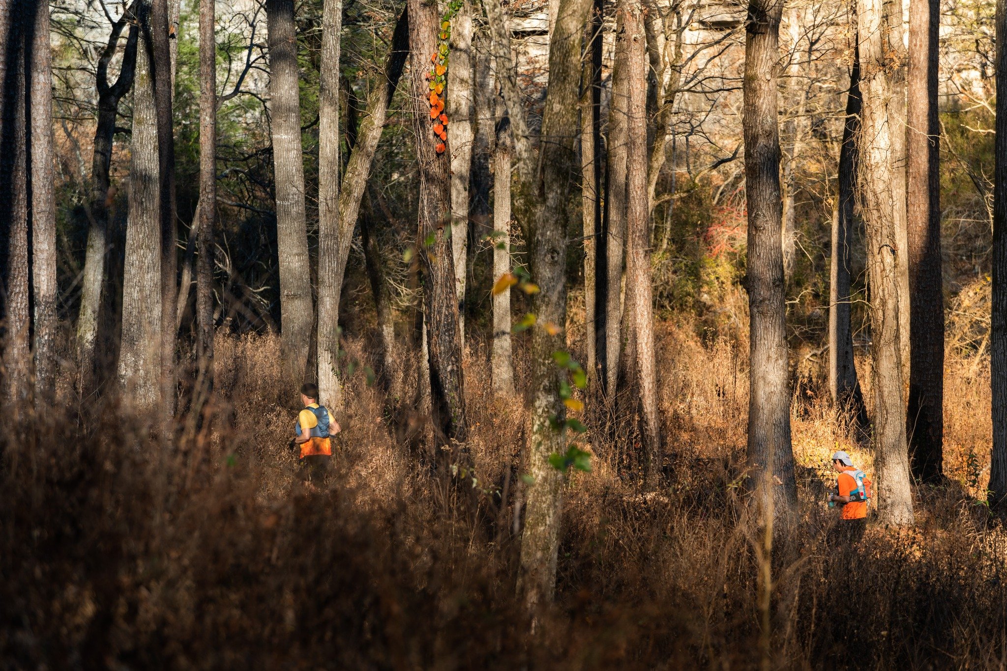
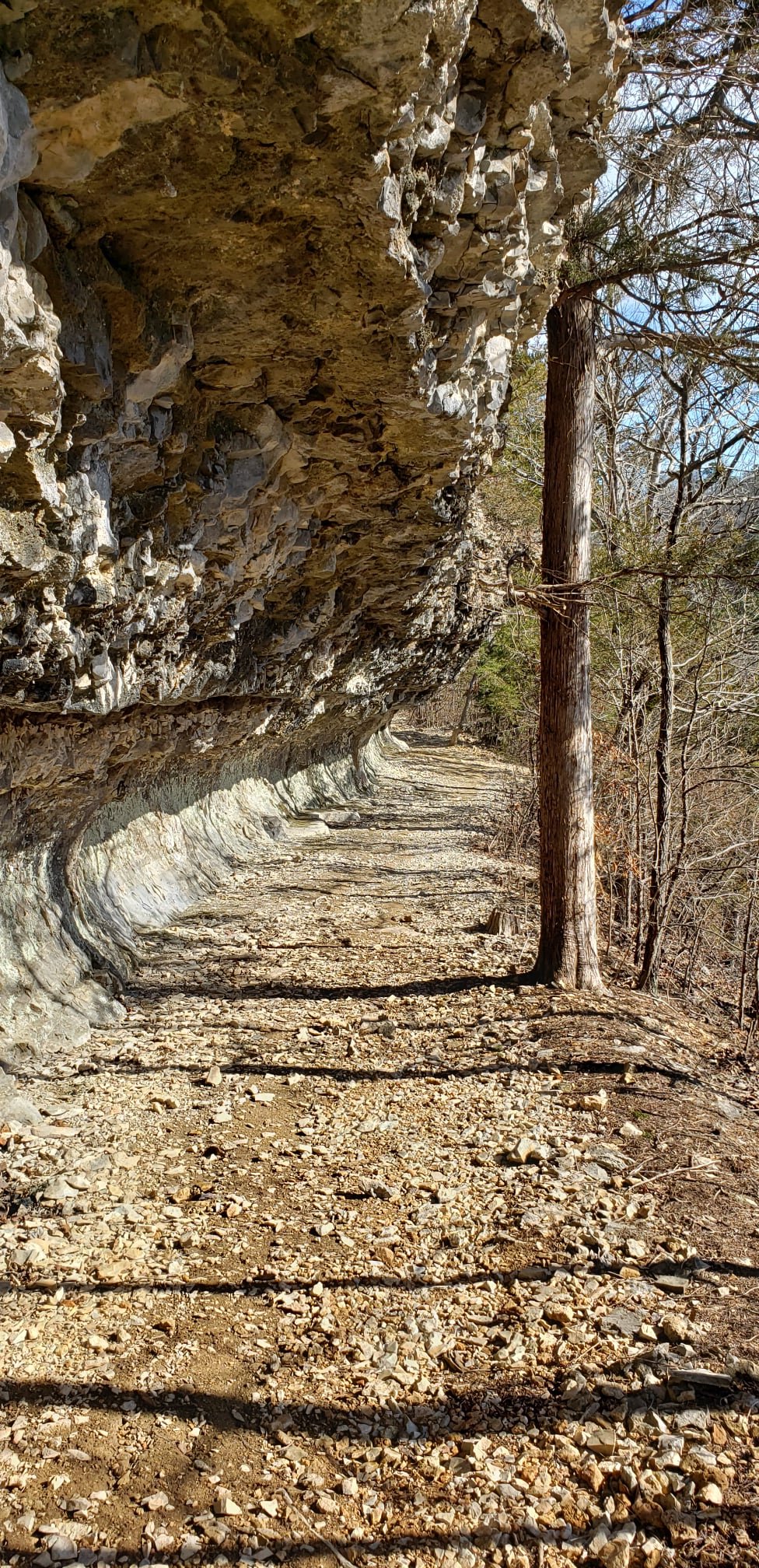
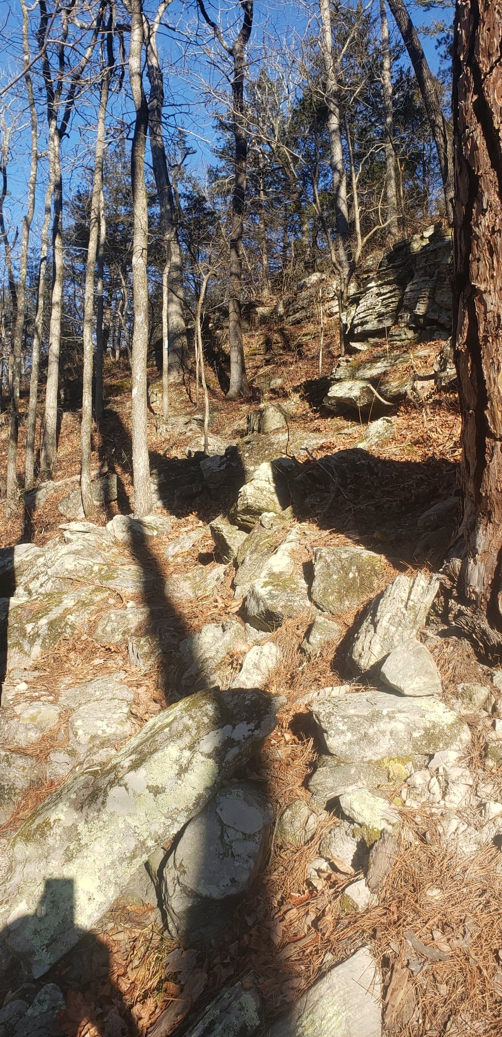
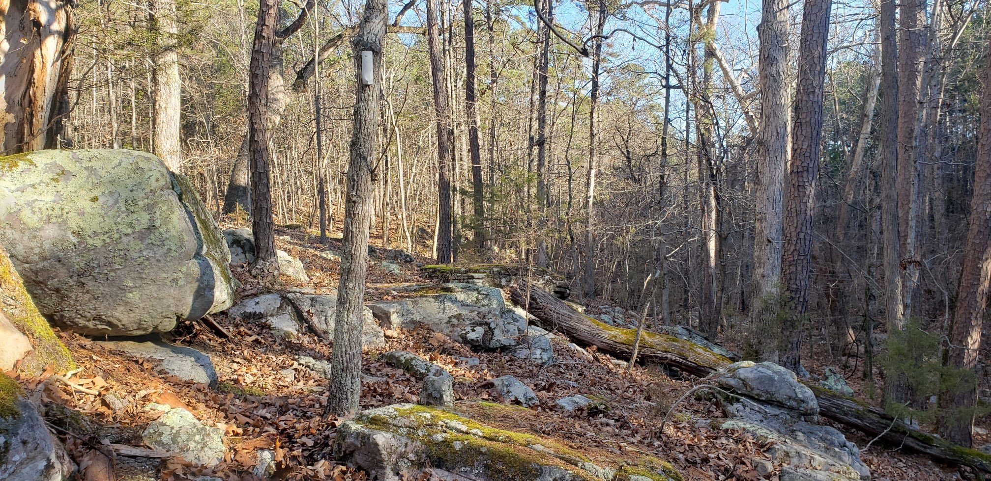
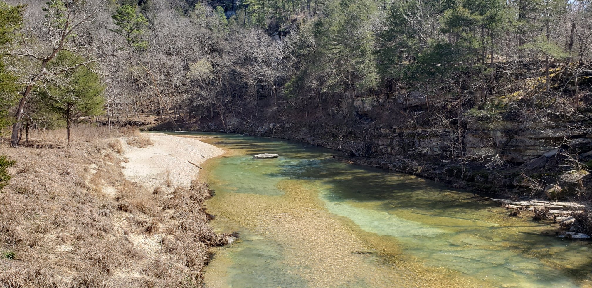
Spirit of Syllamo is a tribute to forest legends and a celebration of the wilderness. Hosted in the Ozarks Highlands Range, it is described as “broken” by the National Parks Service. The trails are rugged, the forest is dense, and the terrain is inconsistent. The result is an incredibly scenic landscape and a mix of easy to challenging trails.
There are 3 distance options:
13.1 Miles
35 Miles
100 Miles
The 35m and 100m distances require the runner to be self-sufficient with gear and nutrition strategy. Aid stations are far apart and course marking is limited to turns. -
-
Friday, 3pm - 5:30pm - Packet pick-up and gear check at Blanchard Springs Visitor Center. (This is up the hill from the Start/Finish at the Cavern’s Entrance).
Drop bags may be dropped off here or race morning at the Start/Finish.
Drop bags must be labeled with bib number, runner’s name, and aid location.
-
On site at Blanchard Springs
You must follow the US Forest Service rules for camping.
Group sites are reserved by the race for participants. These are primitive campsites suitable for tents or car camping. Smaller pop ups might fit as well. Please review the US Forest Service guidelines if you are unsure.
Individual sites are available first come, first serve. Within Blanchard Springs these are often called “The Upper Loop” sites and are suitable for campers/RVs. These sites are not free. More information can be found through Forest Service Websites or calling Blanchard Springs. These sites have a size limit. Please review US Forest Service Rules.
Please consider the roads in and out of Blanchard Springs are steep, winding, and narrow. Large campers/RVs will be challenging to navigate and may exceed the allowable limit.
All sites have water and restrooms, but no electric. These are heated restrooms. Showers will be winterized before the first freeze. Do not expect the showers to be in operation for a December race.
or
Multiple cabins and vacation rentals in the Fifty Six, Allison, and surrounding area. Many of these businesses support our events and love to host runners. -
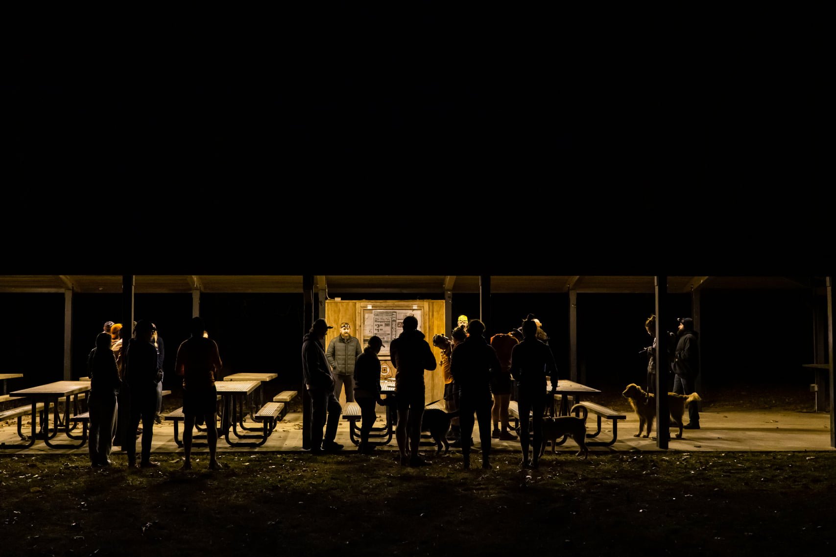
Saturday: At the large pavilion - You do not get your bib if you do not toe the line.
35 Mile and 100 Mile
5:15-5:45am - Bib Handout.
5:45am - Final announcements
6:00am - 35m and 100m Races begin.13.1 Mile
6:15-6:45am - Bib Handout.
6:45am - Final announcements
7:00am - 13.1 Race begins.
-
13.1 Mile - 6hrs.
35 Mile - 11hrs.
100 Mile - 34hrs.
Detailed aid station cut-off times in runner’s packet for the 35m and 100m.
13.1 runners need to be clear of the aid station heading inbound (8.5 miles) within 5 hours.
You must LEAVE aid stations by cutoff. If cutoff is 9am, you must be back on course by 9:01am or you are out.
If you clear the last aid station by cutoff but finish after cutoff, we still count that as a finish. And hope you come back to finish under cutoff next year ;-)
-
READ THIS: These files were created from Rusty’s complete runs of these routes. These files are accurate. Spirit of Syllamo uses designated trail. You are never running along highway or pavement. There are a few paved crossings and a few forest service roads. Every route has permanent blazes on trees.
In 2024 we learned the following -
Taking these files and putting them back into a program will change the routes.
Even downloading from Strava and putting the file back into Strava will alter the route.
The apps will try to route you on roads or the most popular routes. It cannot recognize trail if it parallels closely to road. It will be close but not 100% accurate.
Many runners successfully broke the file into small chunks with only minor accuracy issues.
Bodies of water effects accuracy.
You will be near water throughout the couse. Some devices will alert you but you may be correctly on course.
Some devices cannot recognize if you are inbound/outbound on course. We had a runner finish with 116 miles after getting disoriented in fog and repeating course he had already completed. He did not get alerts because he was on course, just the wrong way. Still finished in 2nd place!
You need to practice with your device. We are not responsible for you figuring out how to use GPX.
Route Maps:
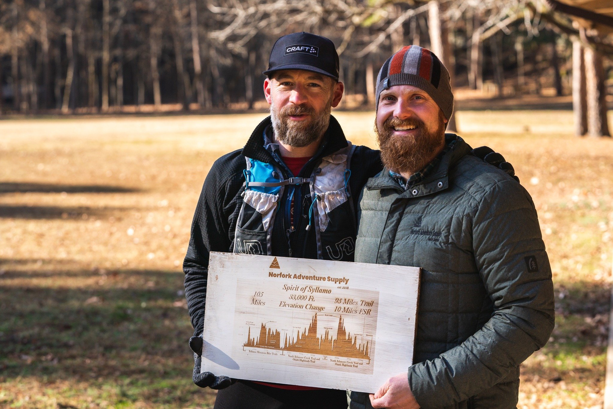
Even Year, 107miles ~ 16,500ft gain / 320ft change per mile.
Even Year Strava Map
Odd Year, 99 Miles ~ 15,000ft gain / 303ft change per mile
Odd Year Strava Map
35m ~ 4,600ft total gain / 260ft change per mile.
13.1m ~ 1,500ft total gain / 230ft change per mile.
Note: The Strava Maps are conservative estimates. We’ve consistently seen runners get the numbers we’ve listed above.
GPX Files:
Even Year Strava GPX Download
Odd Year Strava GPX Download
35 Mile Strava GPX Download -
Details and profiles can be found under “Route Maps” and the runner’s packet.
-
100 Mile Runners Only
Many of the roads are steep, narrow, and winding. We highly recommend a 4x4 vehicle - rainy/wintery weather can make roads treacherous.
Detailed instructions are in the Runner’s Packet. Print the packet for your crew or make sure it is downloaded on a device. Most locations do not have cell phone reception. You will not be able to access the runner’s packet on your phone in many locations.
Important: we permit crew to access trailheads that do not have race staff. This allows runners to drop without race staff knowing. If you do this, you MUST proceed to the next aid and notify race staff. Aid stations do not close down until all runners are accounted for. Do not return to Blanchard Springs to notify race staff unless that’s the next location. Aid stations are too remote for cell service and can be over a 1 hour drive to notify volunteers who may still be waiting on you. Failing to do this, and causing volunteers to wait on a runner who is no longer on course could result in you being banned from our races.
-
100M Runners Only
Pacers may start at Blanchard Springs, which is mile 35.
Runners 60 and older may have pacers from the start.
Even and Odd years have different sections. Please refer to the runner's packet for specific instructions/pacer sections.
-
Adequate flagging but nothing to prevent you from going off course.
If you’re prone to getting lost, you’ll get bonus miles.
Flags/Ribbons are hung from tree branches at eye level.
You need to look up and pay attention! If your head is down, you will miss a turn.
Major intersections that are known to be problems will have additional signage. Typically large white and orange signs and extra wide ribbons.
Most areas have bedrock, boulders, and rocky soil - ground flags do not work. You can’t stick them through rock. We know other races use ground flags. At least 1 runners tells us this at every race. It doesn’t work here. Sorry not sorry. You need to look up!
-
Terrain:
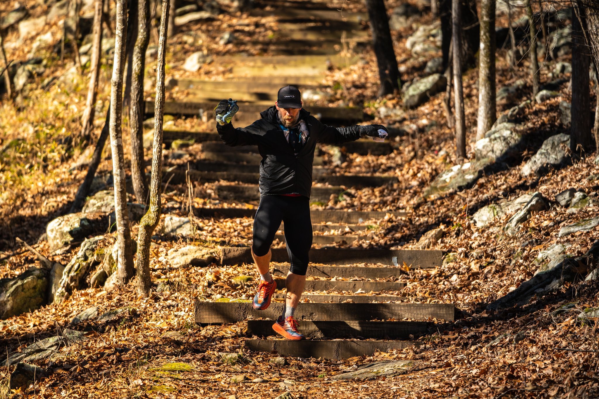
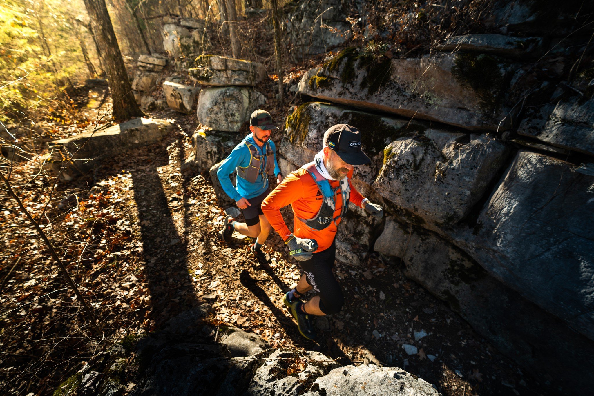
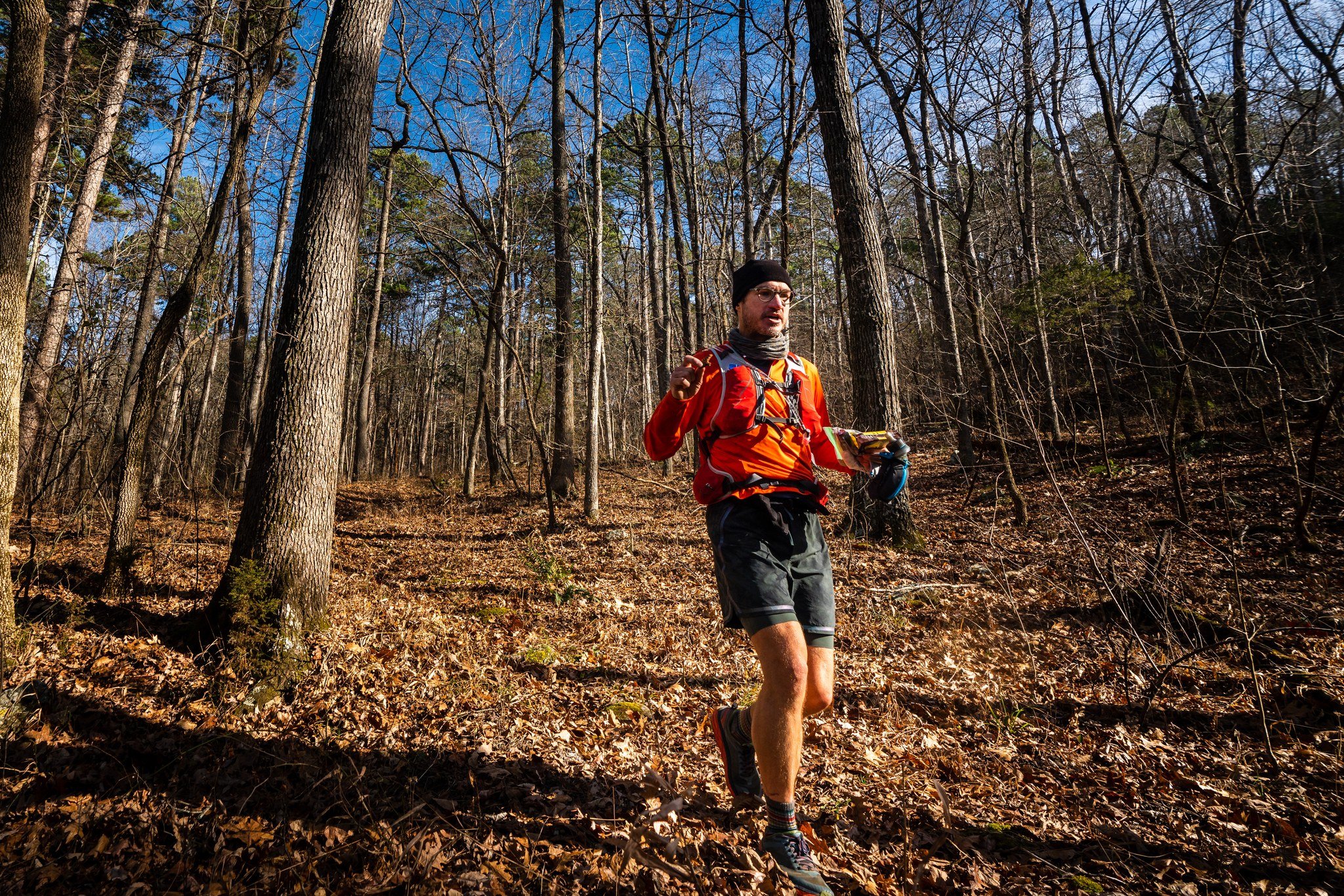
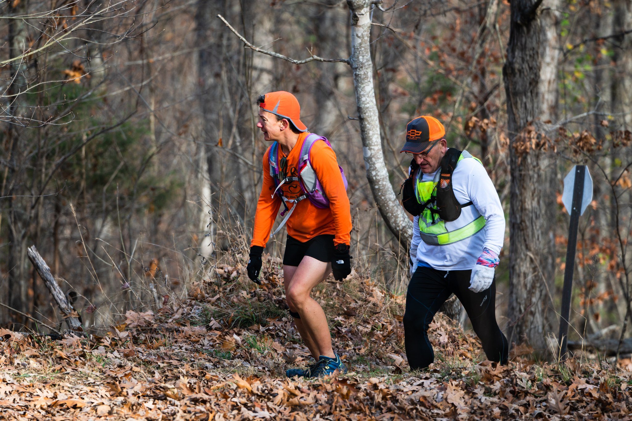
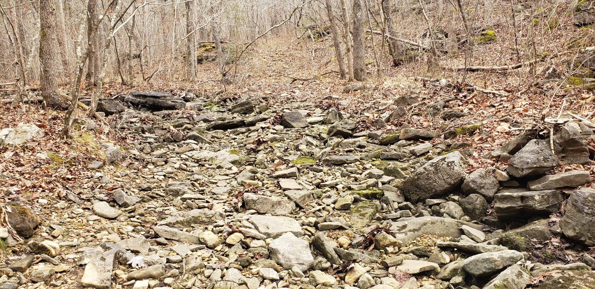
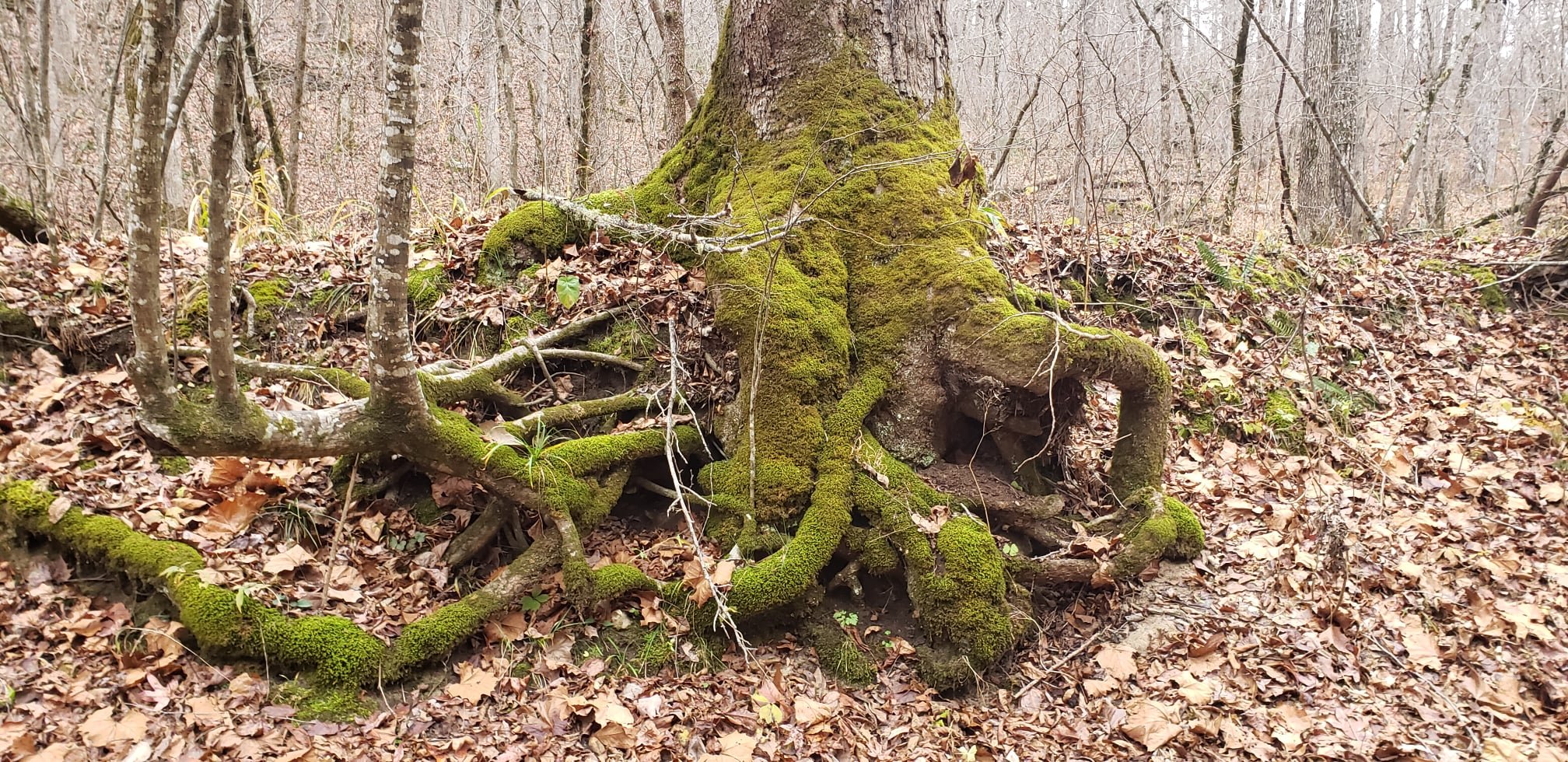
Highly diverse trails that are rugged, rocky, steep, and densely forested. In a single mile, runners may cross a creek, climb a mountain, traverse boulders, and have some flowy trails. It is constantly changing throughout the race.
Water Crossings:
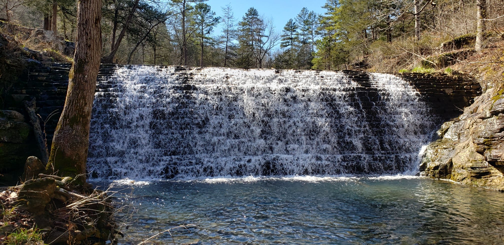
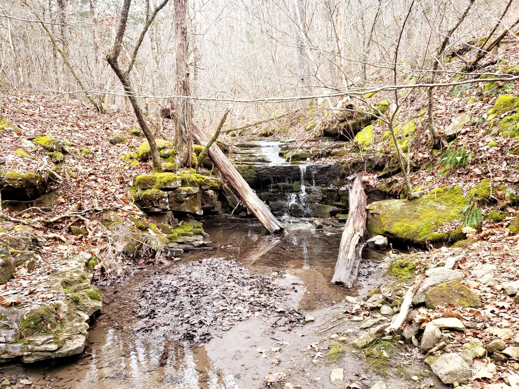
There are several water crossings. No crossing is a significant waterway. They are all easily traversed with the exception of a flash flood. Depending on rain, most creeks could be completely dry. Safety will always be considered if creeks are deeper than normal.
At no point are you traveling up/down stream. You only cross them.
There is no good way to predict how deep the creeks will be. We have never completed the courses with dry feet. Creeks drain quickly, some in a matter of hours, but plan on at least one creek between the 1st and 2nd aid that you cannot cross dry.
Livingston Creek around mile 10 and mile 13 is the most significant crossing.
100m runners will cross Cole Fork between Barkshed and Cripple Turkey. Can be flowing or dry.
Both 100m routes have a larger creek before the turn around. Can be flowing or dry.
All other creeks will be small enough to hop over or splash through with ease.
-
Winter in Arkansas is usually the best time of year to run in the Ozarks. While it can be harsh conditions, it’s typically favorable for ultrarunning.
Use “Fifty Six, AR” as your location on a weather App.
Race Day History:
Hi/Lo temps in degrees Fahrenheit.
Dec. 11th, 2021 - 50/18, frost at night
Dec. 10th, 2022 - 48/42, daytime rain, intermittent night fog
Dec. 9th, 2023 - 60/35, slight rain for the first few miles
Dec. 14th, 2024 - 55/37, heavy rain throughout the 35m. Heavy fog through the night. (Conditions were tough this year).
-
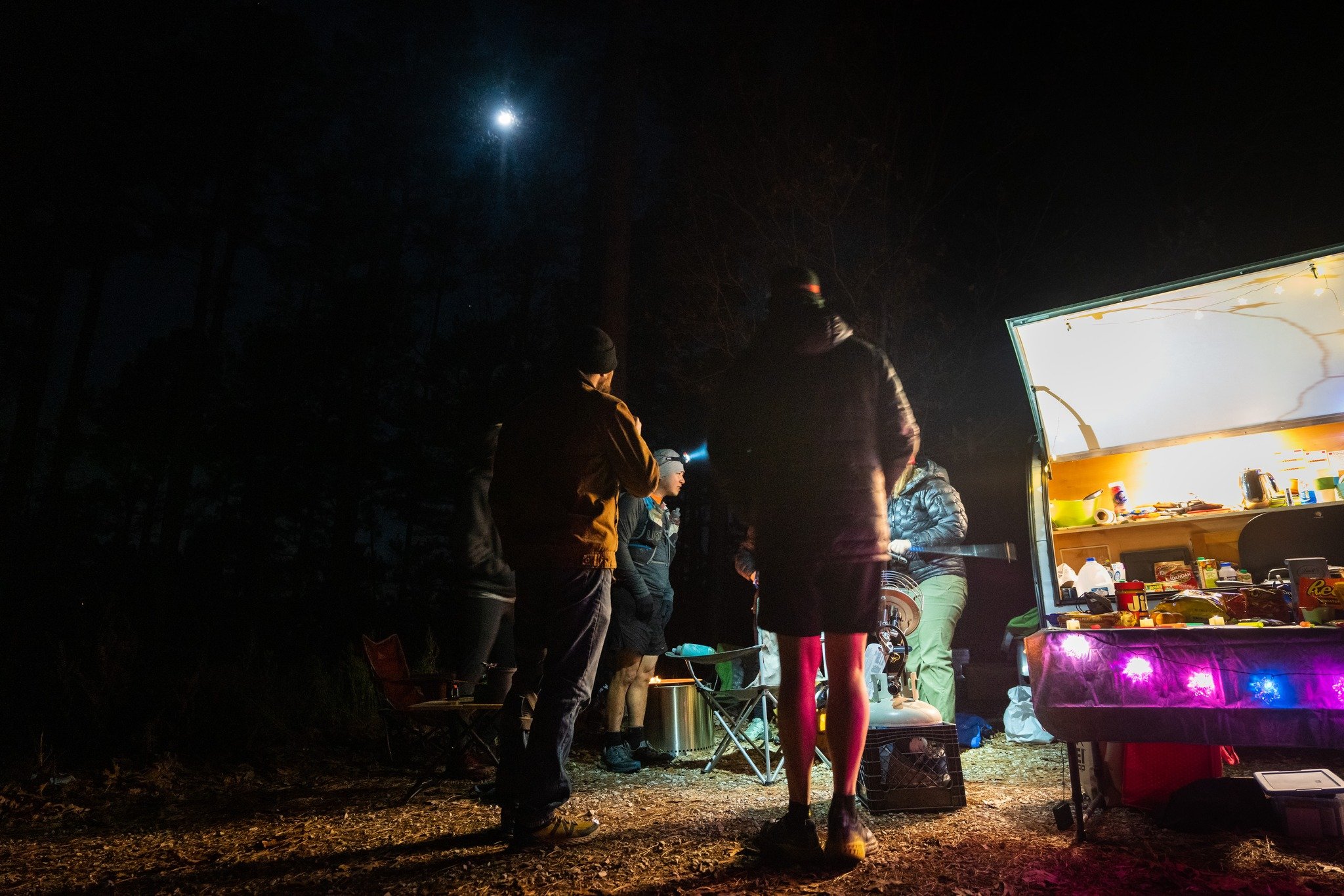
Our aid stations are spaced apart at 7ish miles or more. The inspiration for this was born on route test runs that exceeded 30 miles, completely self supported. We wanted to offer runners an event that provides adequate aid but doesn’t hold your hand every 3 or 4 miles.
Some sections can exceed 2 hours so runners need to study the course and plan accordingly.
Details are located in the runner’s packet.
*The aid for 13.1 runners will not be ready when 35m and 100m runners pass through White River Bluff Trailhead.
We do not provide cups. Bring your own water bottle.
13.1 Mile Runners
Aid will be located at White River Bluff Trailhead - Miles 4.5 and 8.5. This location will have water and basic nutrition. Cold/harsh weather might offer warm food options.
We do not provide cups. Bring your own water bottle.
-
Standard Syllamo Events Menu:
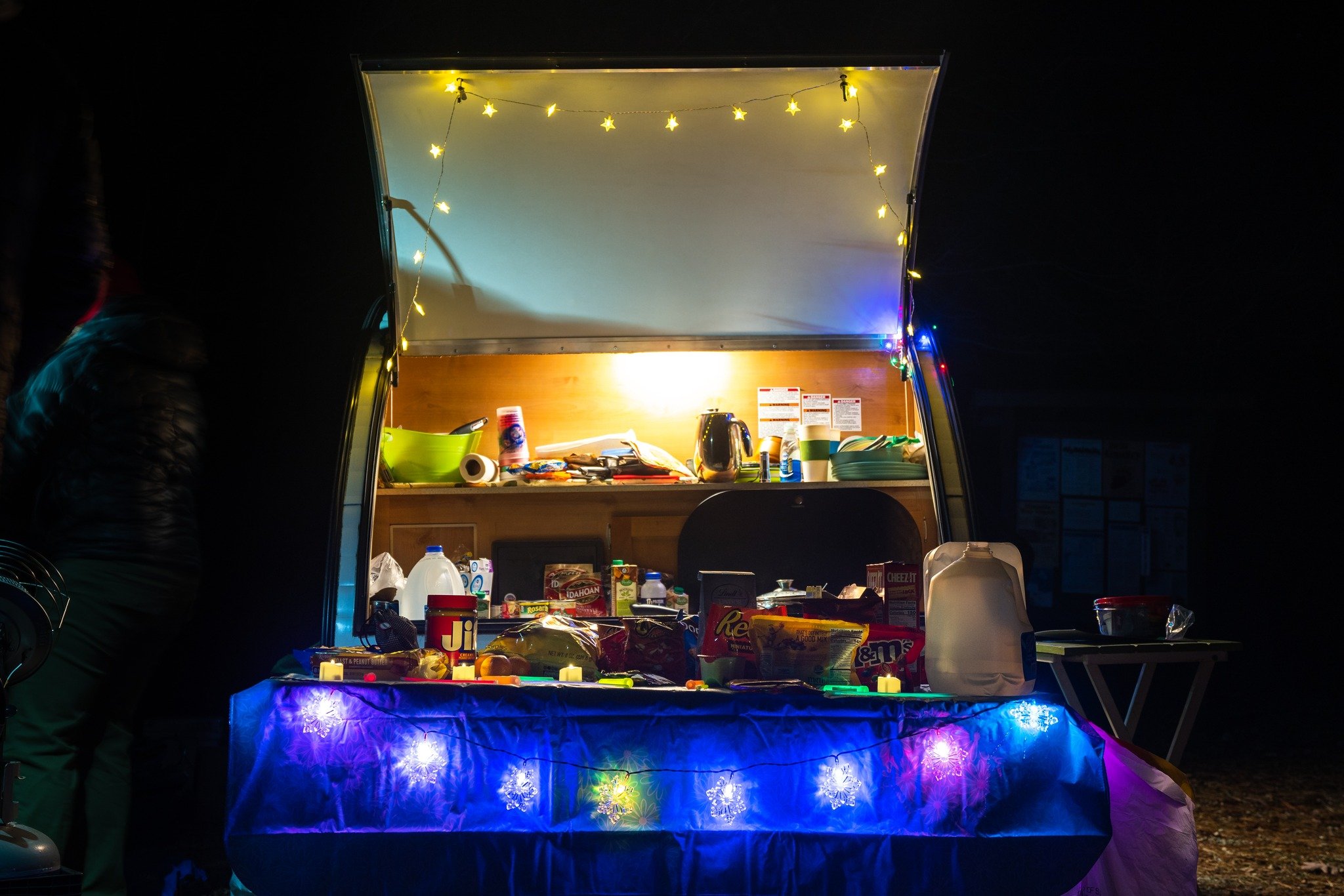
Hydration: Electrolyte mix, ginger ale, Coca-Cola, and water
Sports Nutrition: various gels or chews
Solid Foods: Sandwiches, fruit, pickles, chips, candy (hard and/or chocolate)
Cooked/Warm Foods: Commonly prepared by our wonderful volunteers.Note: Our aid stations are always well stocked and runners can expect the same items at each location. Specific brands could vary.
We do not supply NSAIDS or other pain relievers.
Every aid stations will have basic first aid. -
100m and 35m distances may use drop bags at every designated aid station.
Bags are to be relatively small/carry on size. We will not transport large duffels. You’re not Batman. You don’t need your entire arsenal of gear.
Drop bags are to be labeled with bib number, runner’s name, and location.
Bib numbers are assigned after registration closes.
Bags are often transported to multiple locations via the same vehicle. We are not responsible for a bag going to the wrong place if it isn’t labeled.
Drop bags are returned to Blanchard Springs (Start/Finish) after the aid station is broken down. For faster 100m runners, please consider your bag might be at Barkshed until the end of the event.
Some locations are treacherous to drive to. We do not permit crews to access certain locations unless it is to retrieve a runner who has dropped from the race. Please do not drive to locations to retrieve a bag unless it is a designated crew location. This is for safety and prevention of a vehicle getting stuck.
-
The pavilion in Blanchard Springs is surrounded by bluffs and mountains. It is a perfect location for music, food, and fun. This location serves as the finish for both distances and the 35 mile aid station for 100 milers.
All runners may enjoy a warm post race meal. Additional meals may be purchased for family/friends during registration.
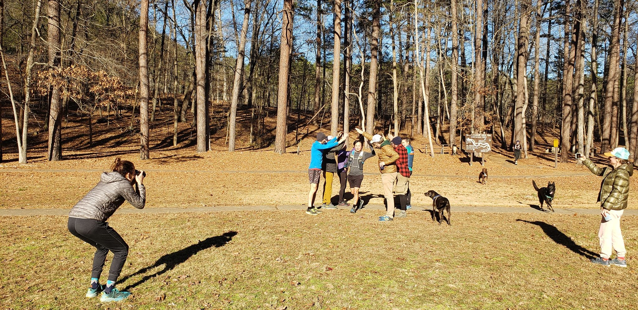
We hope for beautiful weather and a lively crowd cheering on runners. Plan to stick around and join the festivities!
All of our events are low waste, low trash events. We do not provide plates, bowls, cups, or flatware.
-
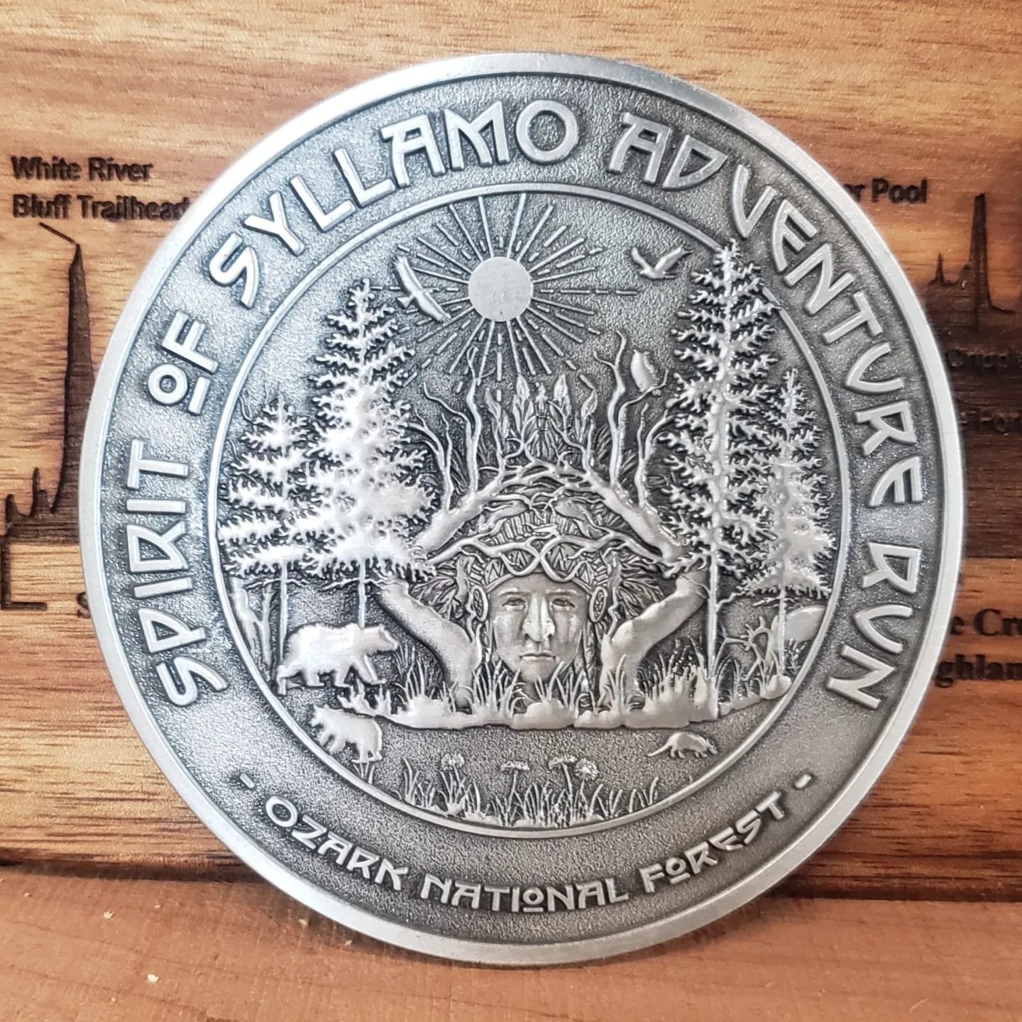
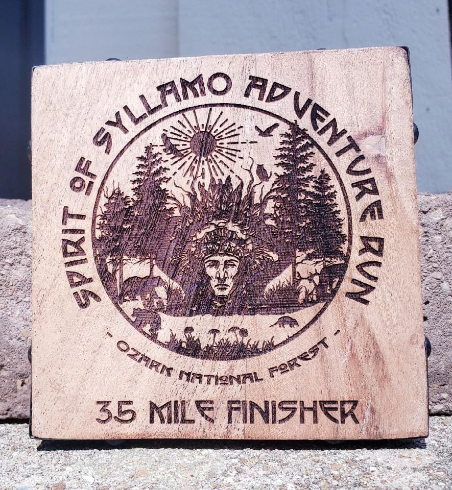
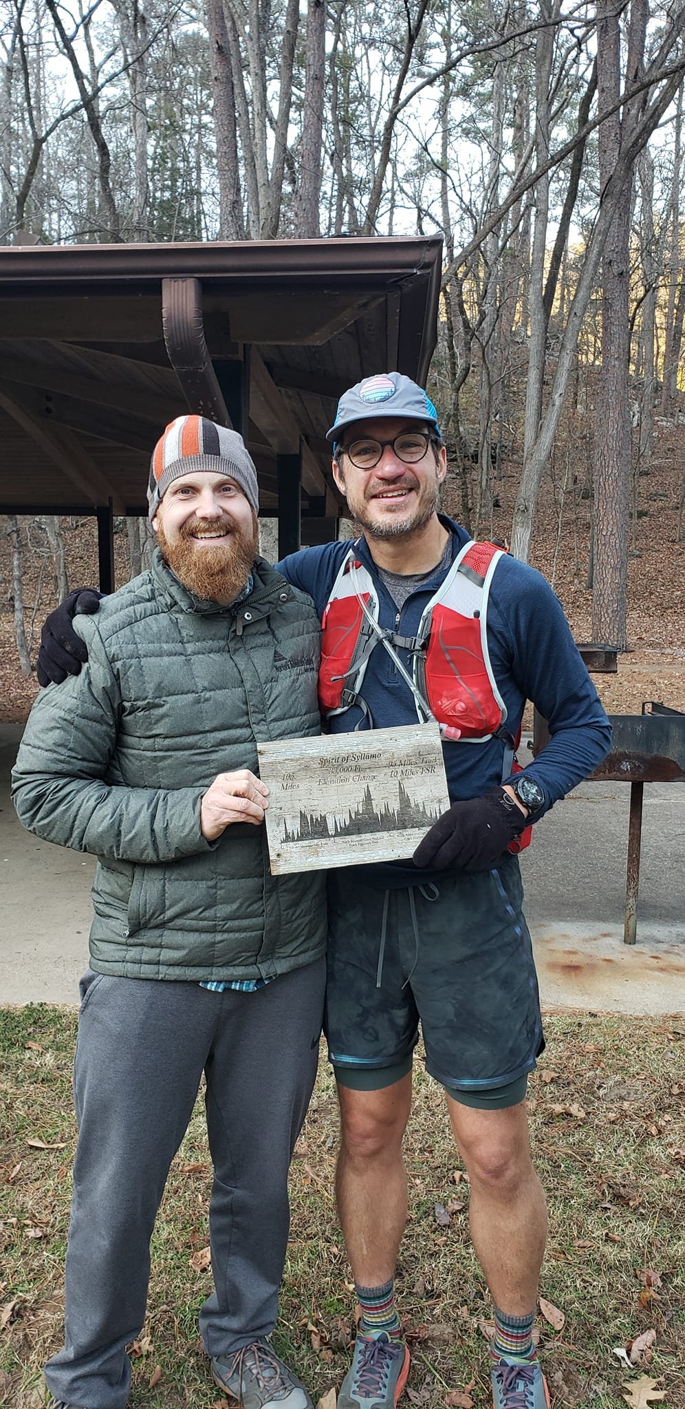
Custom and substantial. This is not an easy race. We feel the awards should reflect the effort it takes to finish. There are various awards from year to year that you can view on our Flickr page.
-
100M Distance:
Dec 2021 - 57.1%
Dec 2022 - 63.6%
Dec 2023 - 53.3%
Dec 2024 - 25.0% - tough weather year
-
We typically check emails during our store hours Tuesday-Friday, 10-5:30.
It becomes more and more difficult to respond to emails the closer it is to an event. If we don’t respond close to the event, please understand we are busy and/or out of service.
Please refrain from asking questions already addressed on our website.
If you’re capable of running the event, you’re probably capable of reading our information. Also, it probably takes more time to type an email versus reading.
All that said, we get good questions all the time and are happy to respond when we can.
-
The most common event specific question for Spirit of Syllamo regards GPS and the likelihood of getting off course.
The 35m is pretty manageable in the daylight. Runners tend to miss the first turn before daylight. The first turn is well marked but it’ll still be dark when you reach this point. The biggest risk is missing a turn and being on a trail, but not the 35m course.
The 100m routes have opportunities to miss a turn but there are fewer spots after the first 35m. Plus, if you go off course, you will not have blazes on the trees. It will become obvious you are no longer on trail.
If using GPX, we cannot stress enough that you need to practice with your device and study the course. Every device is different - we can’t help you!
Navigating in the dark is difficult to begin with - don’t set yourself up for failure by waiting until race weekend to figure it out.
For other questions, please review our “Policies/FAQs” tab.
