COWabunga! Gravel
50, 30 & 17 Mile
Gravel Races
April 26th, 2025
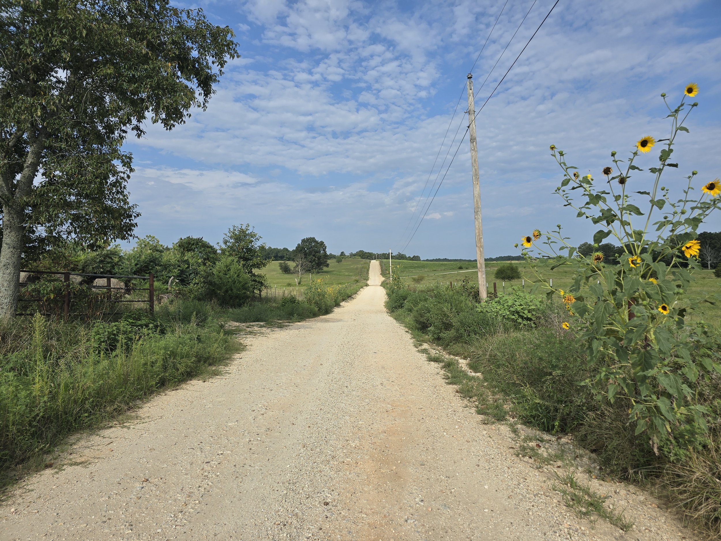
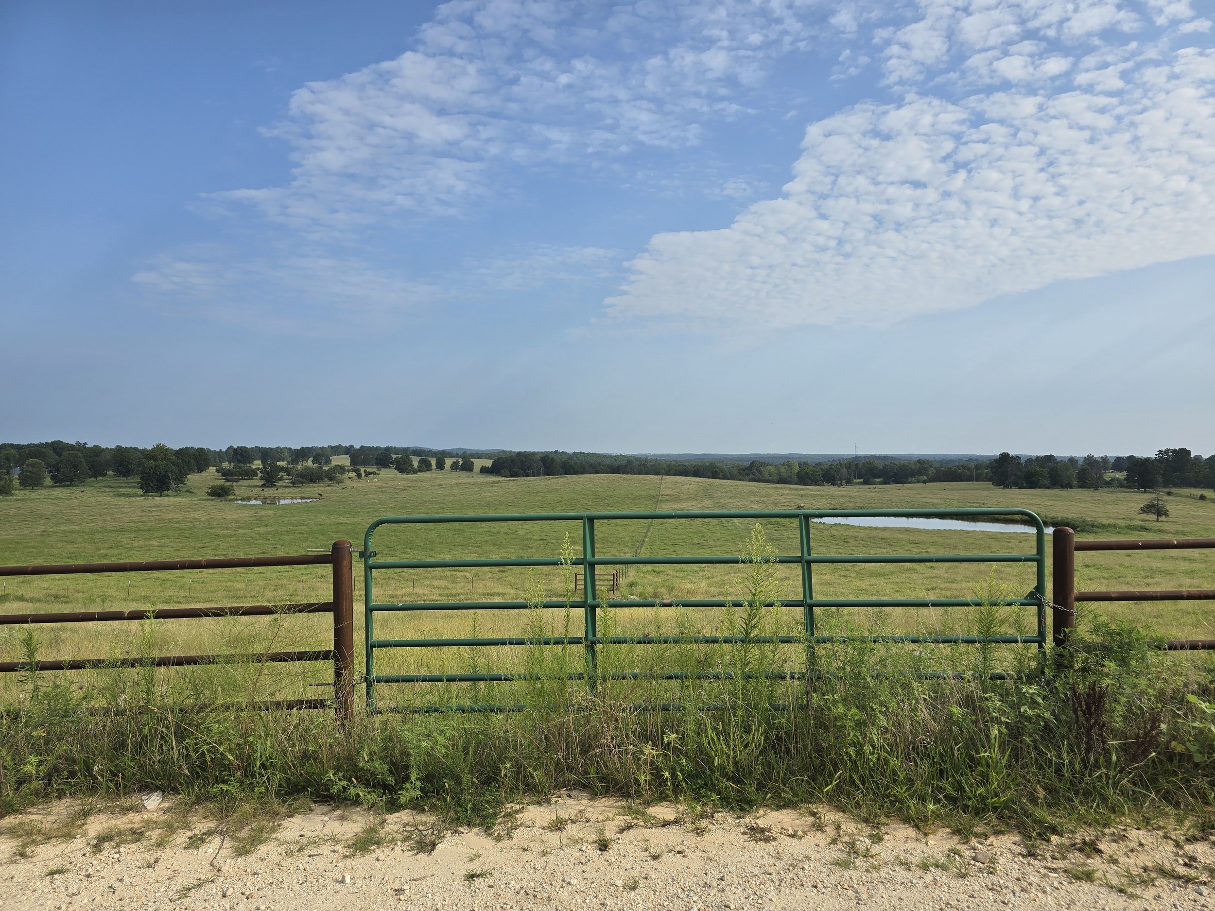
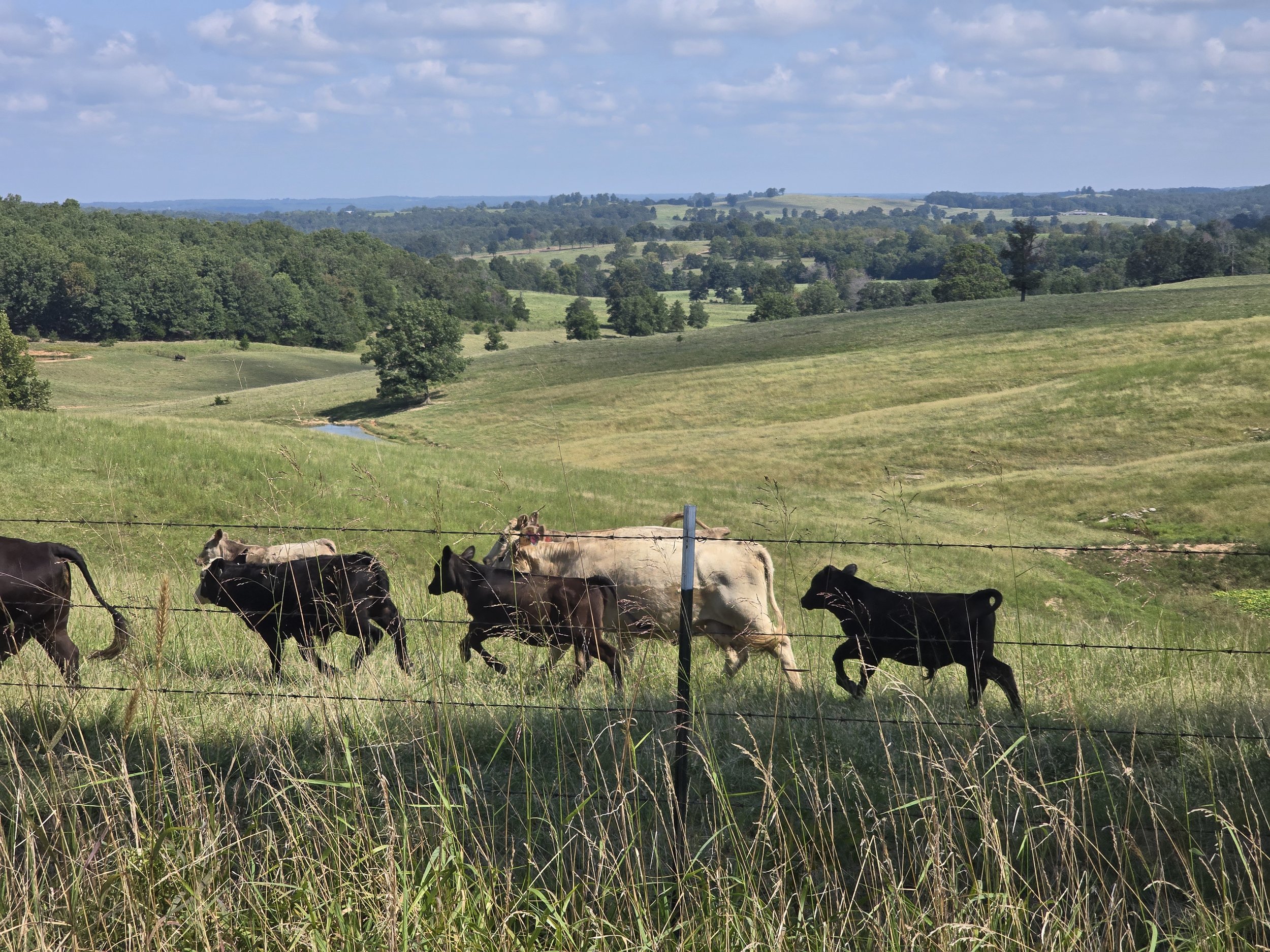
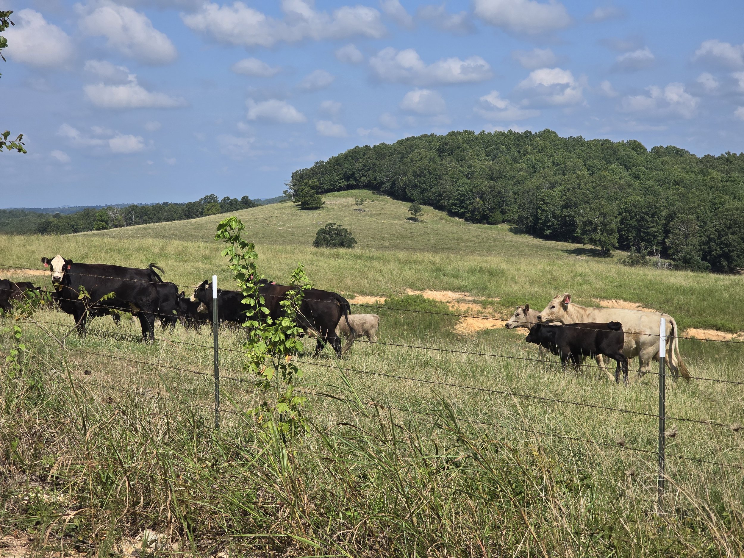
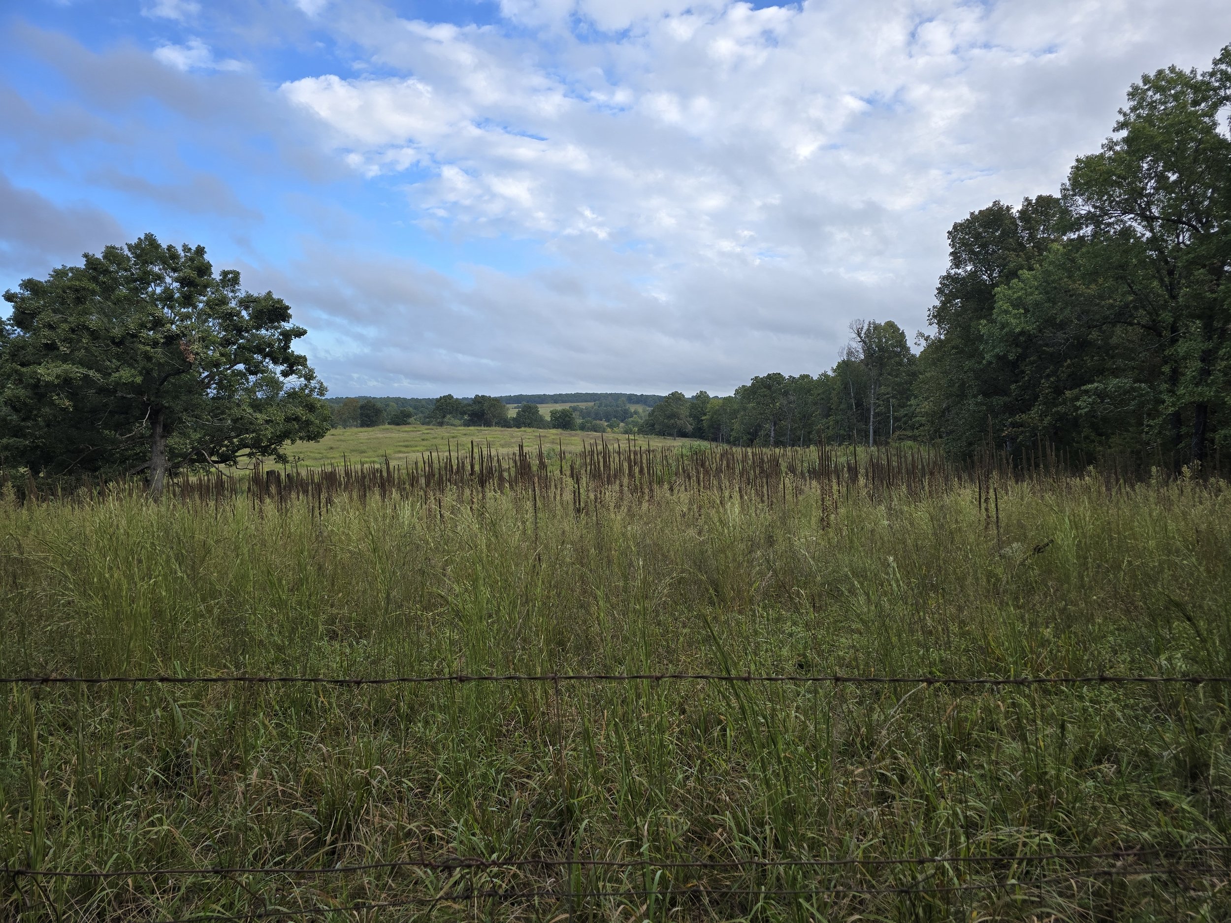
Experience the beauty of North Central Arkansas farmland.
Riders may choose from 3 distance options that journey through hills, creeks, woodlands, and past livestock pastures - hence the name, COWabunga.
Each route ebbs and flows from smooth gravel to steep hills with a little bit of GNAR!


Race Details
-
COWabunga!
Get ready to ride a diverse landscape with no shortage of cow farms and hay fields.
Riders may choose either a 50 mile, 30 mile, or 17 mile race option.
-
The start and finish is located at Viola City Park in Viola Arkansas.
"Viola Park" located off Hwy 223 on Google Maps.
Amenities include restrooms with running water, a pavilion to serve as the Start/Finish, a playground, small walking trail, and baseball diamonds.
Note: This is a city park that prohibits alcohol and firearms.
-
Saturday morning starting at 6:00am to 7:30am.
-
Viola is a small town nestled between Mountain Home, Calico Rock, and Salem Arkansas. You might find a vacation rental or camping in Viola but there will be limited amenities. We recommend the following:
Mountain Home - largest town, most options for food and lodging, 30ish minutes from Viola. Options to stay on/near Norfork Lake.
Calico Rock - small town, river scenery, historic district, 30ish minutes from Viola.
Salem - small town, historic district, 15ish minutes from Viola.
-
Saturday:
8am - 30 and 50 mile distances depart. Neutralized start to gravel.The first 1.3 miles will be on pavement and led by a support vehicle.
Update on 1/4/25:
8:30am - 17 mile depart. Neutralized start to Flora Cemetery Road. This turn is a couple hundred feet after exiting the park.
This neutralized start will be led by a race official on a bicycle.
-
The 50 mile distance must maintain 7 mph average or greater. Cutoff will be enforced at the 20 mile aid station.
You must arrive and be clear of this aid station by 11am. If you do not meet cutoff, you will have the option for a ride back or drop to the 30 mile.
-
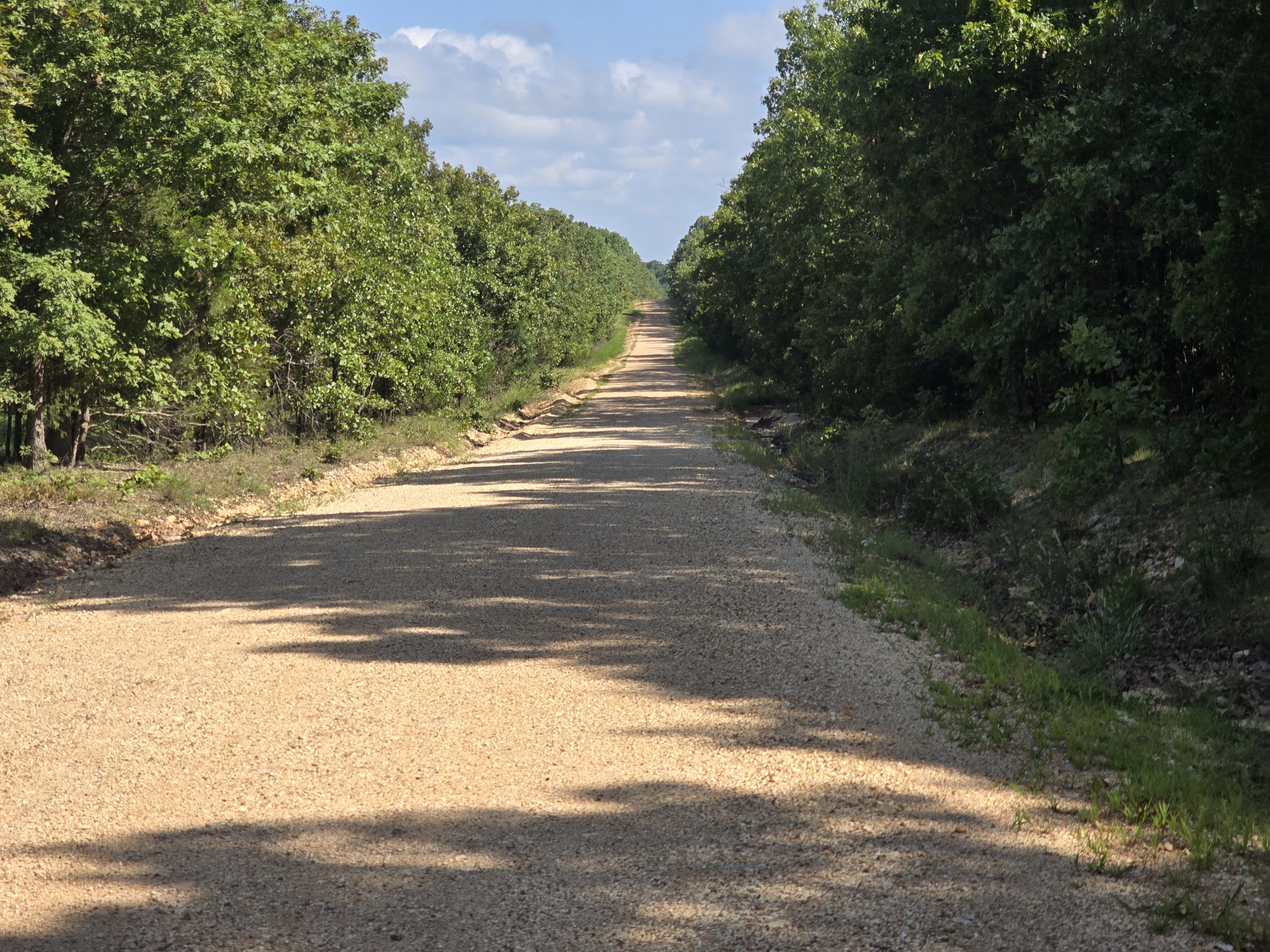
All routes are relatively similar.
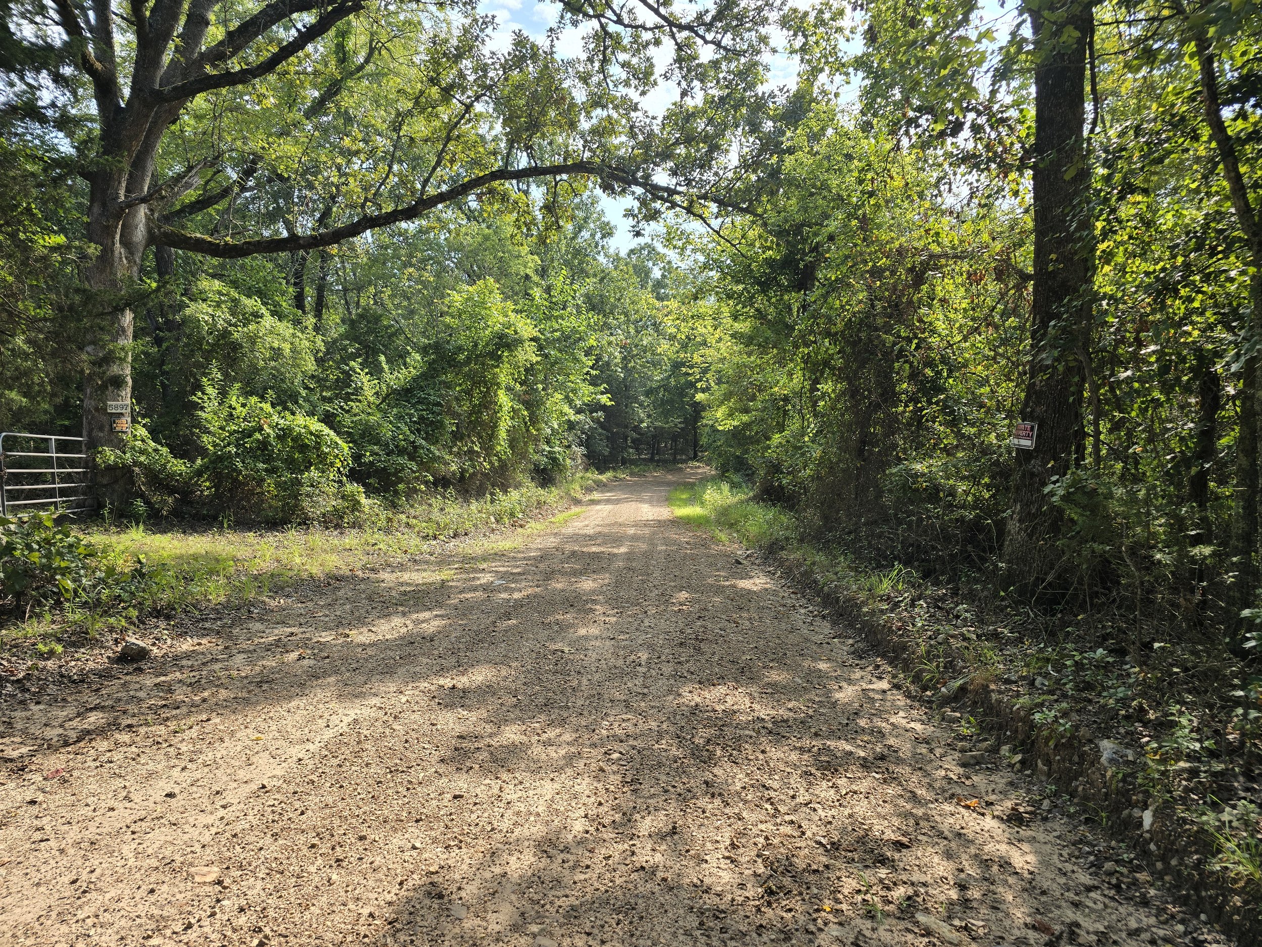
There is hardly any pavement. Strava is a liar suggesting it’s a 50/50 mix gravel/paved.
The 50 mile and 30 mile routes both have less than 4 miles of pavement. There’s 1.3 miles neutralized at the start and 1.7 miles at the end.
Terrain:
Varied gravel throughout. Minimal pavement. Expect the gravel to change from smooth to rough to smooth to rough. Local riders tend to lean toward larger volume tires and added compliance. "Rough" is relative. Sometimes it’s pristine gravel but don't come here and expect smooth gravel - expect a thrilling and challenging adventure with beautiful scenery and some genuinely great gravel riding.
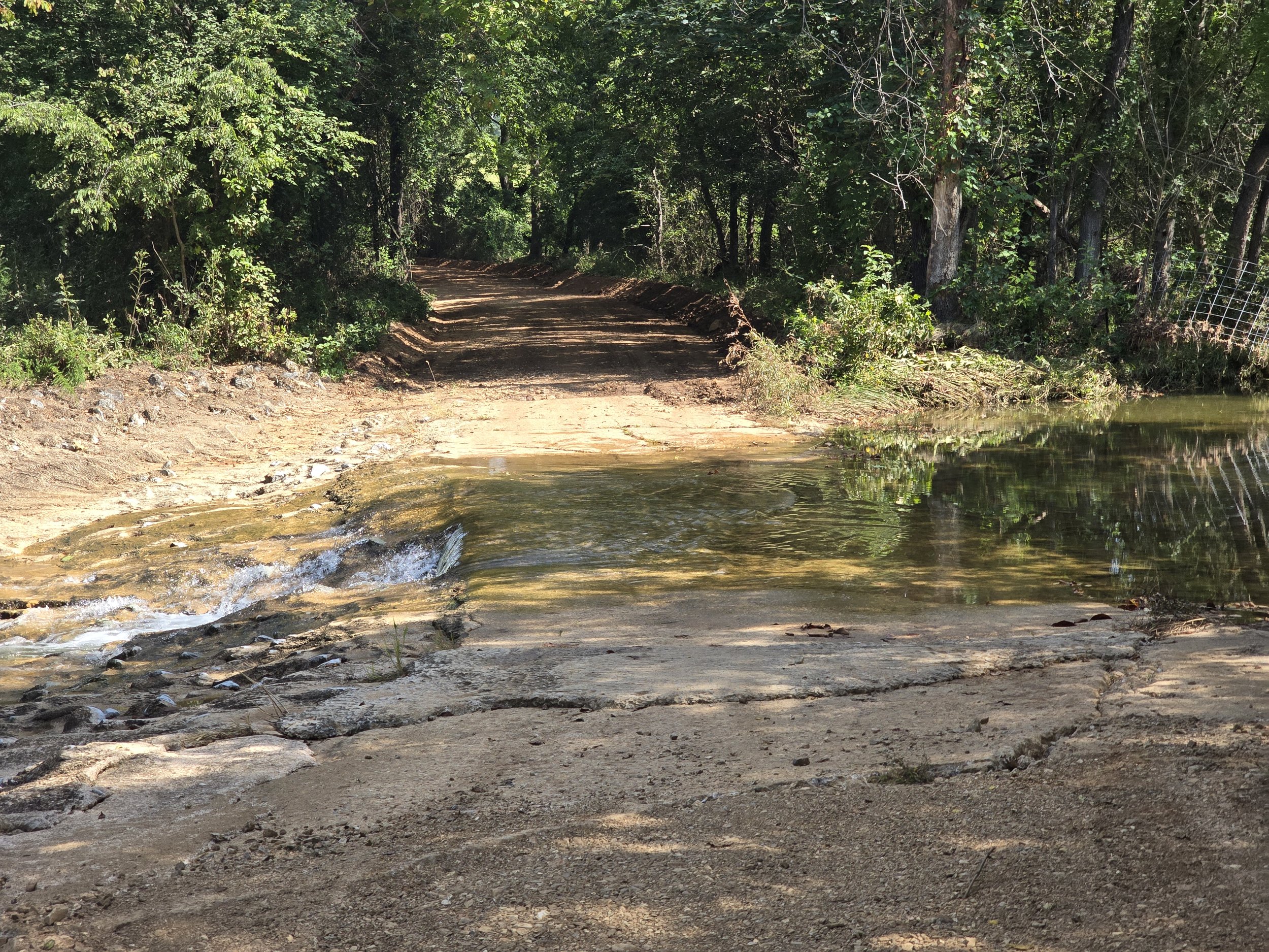
Water Crossings:
Maybe. There are several low spots that can retain water but we've never seen anything to cause alarm. Pre-race emails will address any causes of concern.
-
We plan to send a prerace email to help with expectations.
But you do you.
We’ve seen people ride these routes on all types of bikes.
That said, here is our setups:
Ideal Conditions:
Traditional gravel bike setup. Most local riders will lean toward 700 × 47 tires. Added compliance like a suspension fork or shock stem is common.
Rough Conditions:
Traditional gravel setups will work but consider a hardtail or dropbar mountain bike. Even if it’s not faster, you might enjoy the ride more.
Wet Conditions:
As big of a tire as you can get. We’ve ridden the route on a Surly Ice Cream Truck with 26 × 4.8 tires. It’s an unstoppable machine that’ll roll through the softest stuff we have. Bonus points if you ride a fatbike regardless because we shamelessly love fatbikes.
-
The course will be marked but we highly recommend using GPX. There are dozens and dozens of turns that could take you off course.
Note: Expect to climb 100ft per mile on every route. These hills are small and punchy - GPS does not record accurate elevation. If you map this on your own, the mapping tool might be a liar.
-
Expect short and punchy hills that average 100ft of gain per mile.
Many hills are too small to record gain accurately. It is normal to record a range from 75 to 125 feet per mile.
-
We will use flags and signs but nothing will prevent you from going off course.
We STRONGLY suggest you download the route map.
-
It will be a toss up this time of year. It could be below 50 or 80+ and extremely humid. Best to watch the weather and come prepared!
-
The 30m and 50m will have aid at mile 20.
The 17m will have aid at mile 9.
We do not provide cups. Bring your own water bottle.
-
Standard Syllamo Events Menu:
Hydration: Electrolyte mix, ginger ale, Coca-Cola, and water
Sports Nutrition: various gels or chews
Some Solid Foods: Sandwiches, fruit, pickles, chips, candy (hard and/or chocolate)Note: Our aid stations are always well stocked and riders can expect the same items at each location. Specific brands could vary.
We do not supply NSAIDS or other pain relievers.
Every aid stations will have basic first aid. -
No.
-
All riders may enjoy a warm post race meal. Additional meals may be purchased for family/friends during the event.
We hope for beautiful weather and a lively crowd cheering on riders. Plan to stick around and join the festivities!
All of our events are low waste, low trash events. We do not provide plates, bowls, cups, or flatware.
-
Custom awards for each finisher.
-
Jake and Rusty
syllamoevents@gmail.com